There are so many beautiful hikes in Sedona, and it feels like every one of them is popular, so how do you narrow it down to which to visit? Here are 6 hikes that are definitely worth your time while visiting Sedona!
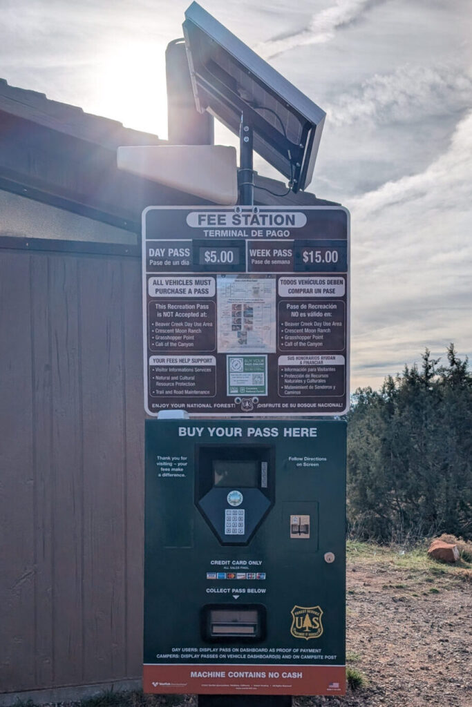
But first, important parking information! Many of the trails and parking lots in Sedona require a recreation site pass. Parking lots that require them will typically have a kiosk to purchase Red Rock Passes, available in daily ($5), weekly ($15), and annual ($20) varieties. You can also use an America the Beautiful Pass at any location that accepts Red Rock Passes.
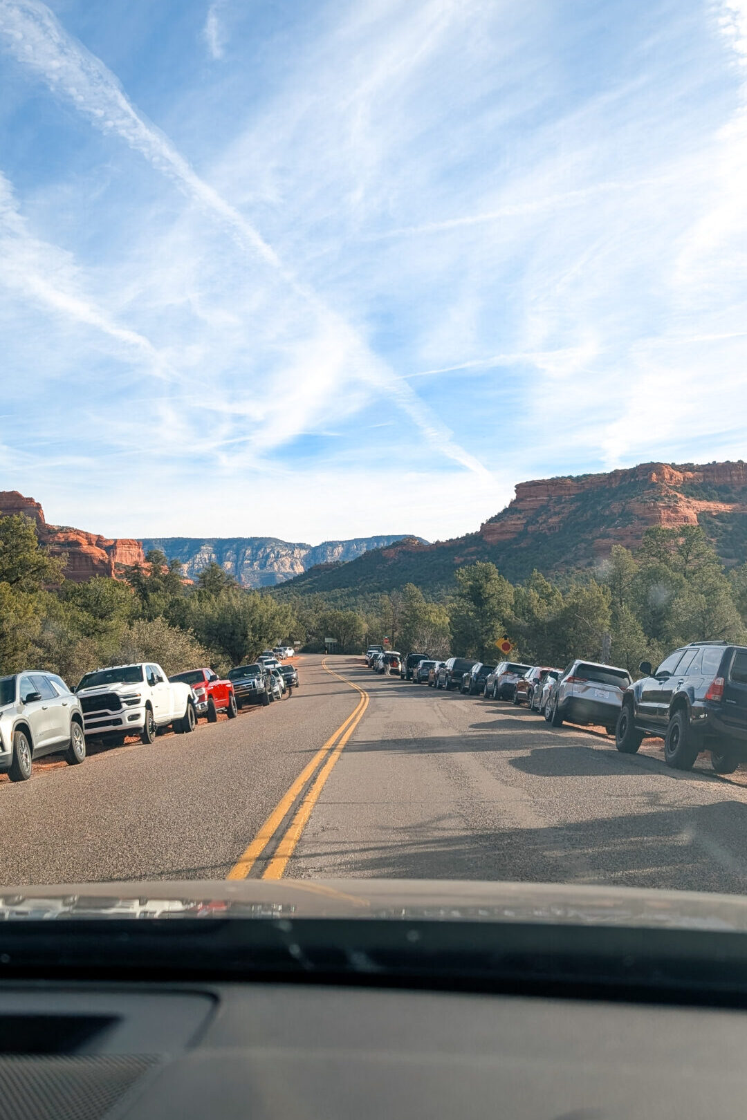
Also, Sedona is popular, and many visitors are there to hike. Parking fills up fast, so if you are visiting during peak season or the weekends, make sure you arrive at the trails early. 7 am or earlier if possible, to guarantee parking in the dedicated lot. If you can’t make it early and don’t want to park far from the trailhead, consider using the Sedona Shuttle to get to popular trailheads.
Sedona had a fairly large fire in the summer of 2026 (Pocket Fire) that closed many of the most popular trails as well as State Route 89A between Sedona and Flagstaff. Double-check what trails are open and available for hiking before heading out!
Devil’s Bridge
Arguably the most famous and popular hike in Sedona, and for good reason, it’s a fairly easy moderate hike that most people can tackle and has some serious pay off!
Type: Out and Back
Distance: 1.6 to 4.6 miles
Difficulty: Moderate
Recreation Pass Required!
The hiking distance for Devil’s Bridge depends on where you start the hike.
- If you have a 4 Wheel Drive vehicle, you can drive up Dry Creek Road and park near the trailhead. This results in the shortest hike, around 1.6 miles.
- The most popular option is to start at Dry Creek Road and hike up the flat, sunny, dusty road to the trailhead. The total round trip for this route is 4.6 miles.
- The best option is to hike to the trail via the Mescal and Chuckwagon Trails; it’s slightly shorter (4.2 miles round trip) and has better scenery! You will likely have to cross a stream at the start of the Mescal Trail.
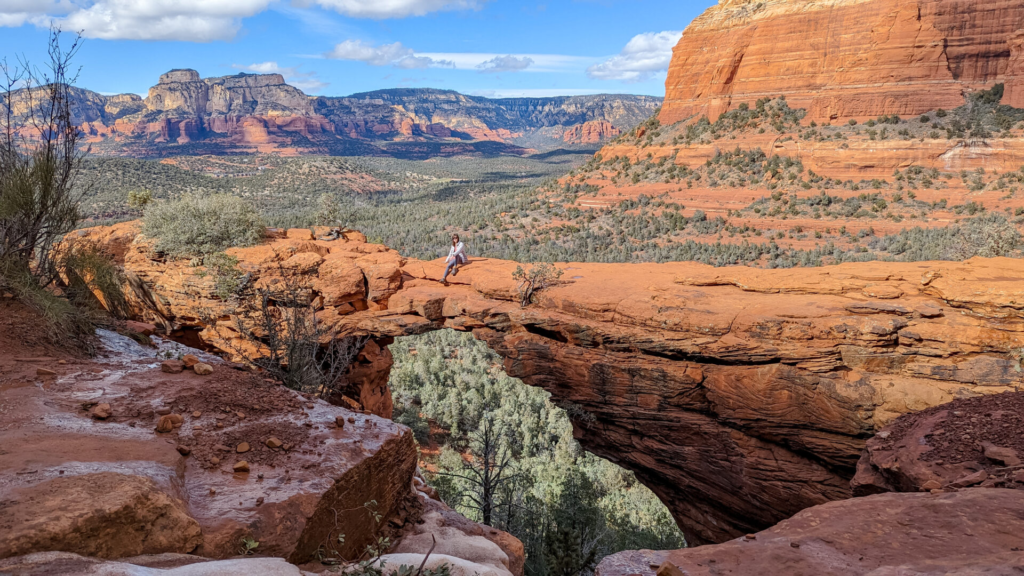
The Devil’s Bridge trail itself starts out fairly wide before turning into steep, rocky steps, which eventually become a short scramble to reach the final section of the trail and the bridge. It’s a relatively easy scramble, and being a busy trail, you may find someone to help you at the scramble if necessary.
Expect a line at the bridge for photos unless you arrive very early/late or visit in the off-season. Lines can be an hour or more when busy! Heads up, if you plan to walk out on the bridge for photos, it can be a bit daunting if you are scared of heights
Soldier’s Pass
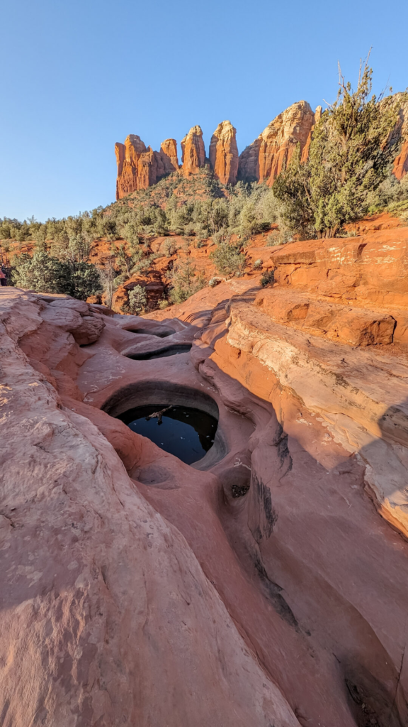
Along the Soldier’s Pass trail, you will find Devil’s Kitchen, a sinkhole, and Seven Sacred Pools. This is a popular trail because it is easy to access and has multiple interesting stops along the way. Expect crowds on this trail, and show up early to avoid the heavy crowds.
Type: Out and Back
Distance: 1.6 to 4.6 miles
Difficulty: Moderate
Recreation Pass Required!
Soldier Pass Trail is a moderate hike in Sedona. The trailhead has a small parking lot that is only open Monday-Wednesday. On Thursday-Sunday, you should park at the Posse Ground Park and Ride lot and take the shuttle or walk to the trailhead. The shuttle operates approximately every 40 minutes, and the walk from the lot to the trailhead is about 1.4 miles.
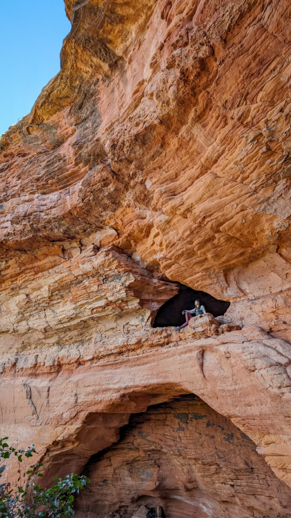
The trail itself is an out-and-back that intersects with the Brins Mesa Trail. Most people who make this hike end at the Soldier Pass Cave, just east of the main trail. You can find the break-off for the cave at a trail split marked with a wilderness sign. Even if you aren’t interested in the cave, the direction of the cave offers a great flat viewing area!
If you visit the cave, you will have to scramble to get up into the cave. Be mindful of your footing as you climb into and around the cave! If you just want to visit the Seven Sacred Pools and Devil’s Kitchen, it is a relatively short and simple hike, easy to do with a family.
Boynton Canyon (Subway Cave)
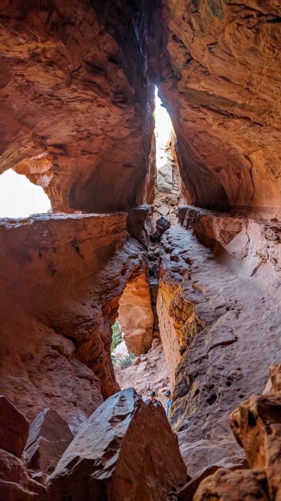
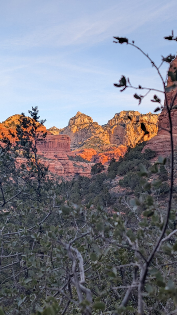
The Subway Cave is another very popular trail in Sedona that most tourists try to visit. This is arguably a more difficult trail than Devil’s Bridge so make sure you are prepared with proper footwear should you take on this hike!
Type: Out and Back
Distance: 4.8 to 6.6 miles
Difficulty: Moderate
Recreation Pass Required!
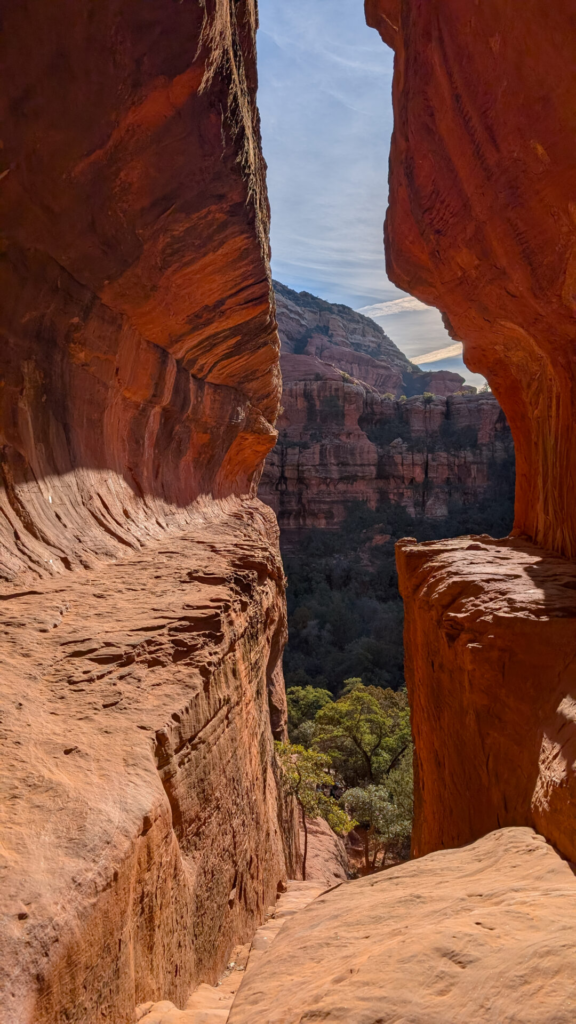
The hike to the Subway Cave is 4.8 miles round-trip from the trailhead; the full Boynton Canyon trail is 6.6 miles round-trip. The first bit of the hike is fairly flat and easy; you are walking along the side of some houses. As you progress through the hike, it will become more difficult, with steeper elevation gain.
When you reach the cave, there are two methods of getting up into the cave.
- You can see the cave and then head left to continue up into the mountain, and then you can shimmy back around the ledge into the cave.
- You can scramble straight up the center of the cave itself.
I found a lot of people online saying that the route to the left is less scary, but honestly, I thought that if you wanted to stand in the cave, going up and down, the center was the better option. There are some incredibly steep ledges in the cave that make it hard to get to the center if you have even the smallest fear of heights.
I personally entered the cave via the head up to the left and then shimmy around method. I then refused to go back that direction once I crossed into the center of the cave because it was so scary. The middle direct method was a lot less terrifying, in my opinion.
Fay Canyon
Fay Canyon Trail and the arch are in the same general area as the Boynton Canyon trail; you just turn the opposite way down Boynton Pass Road. The trail itself has a fairly large parking lot across the street from the trailhead, including bathrooms.
Type: Out and Back
Distance: 2.1-2.4 miles
Difficulty: Easy/Moderate
Recreation Pass Required!
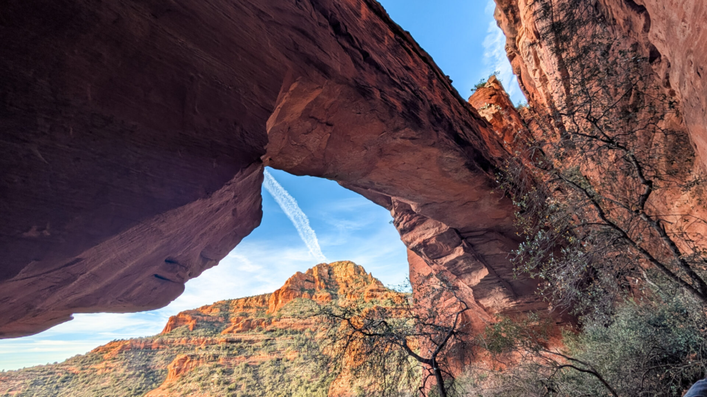
The Fay Canyon hike is relatively easy, with some rocky areas, and is 2.1 miles round-trip. However, there is an optional detour around halfway into the trail where you can head northeast off the trail up to an arch, about 0.5 miles round-trip, give or take. The turnoff to the arch is pretty well marked, but definitely keep an eye out for it. Getting up to the arch is much more strenuous than the main Fay Canyon trail. There are some steep sections, and while you aren’t necessarily scrambling, you’ll probably use your hands.
I suggest heading to the arch and completing the full Fay Canyon Trail; it’s a short hike overall and is very pretty. This is a relatively family-friendly trail, so arrive early to avoid any crowds. We arrived at the trail just after 7:30 am on a Saturday and had the arch to ourselves for about 15 minutes.
Airport Loop
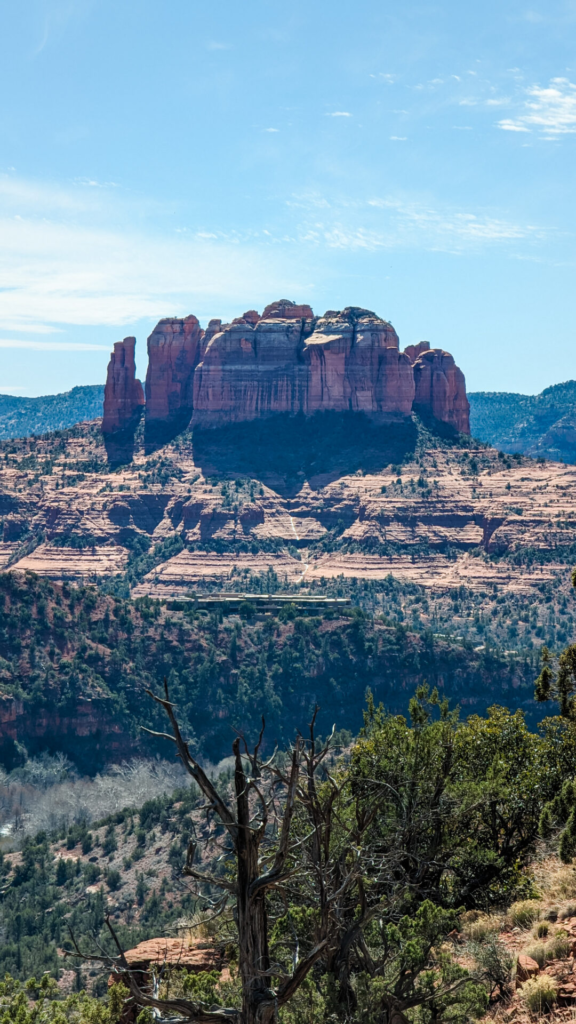
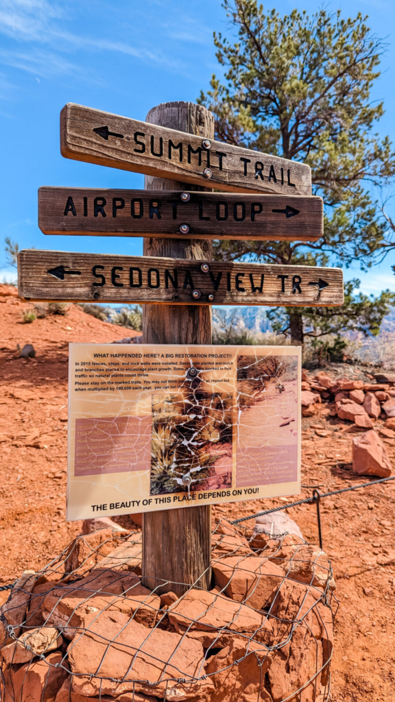
This trail loops around the Sedona airport on top of the mesa at the center of town. There is a small parking lot near the Airport Mesa Viewpoint at the start of the trail. However, you are most likely to find parking up on the Mesa at the overlook, which costs $3. You will have to hike down the Sedona View Trail to the beginning of the loop. You can also consider adding the Summit Trail to visit the top of the Airport Mesa Vortex.
Type: Out and Back
Distance: 3.3 miles
Difficulty: Moderate
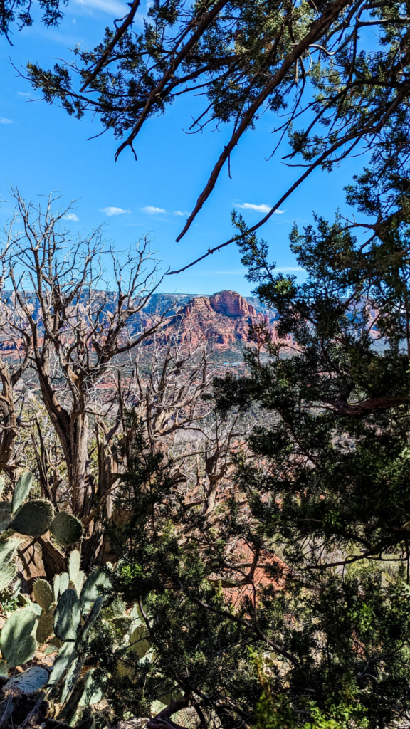
The loop is quite a scenic hike, offering 360-degree views of Sedona. Overall, the hike is relatively easy, and there are only a few areas that would be considered moderate. However, there is little shade along this trail, so make sure you bring a hat, sunscreen, and of course plenty of water! The trail felt much longer than 3.3 miles due to the heat and lack of shade – and we visited in February.
Airport Mesa is a popular area to watch the sunset over Sedona, so if you can time your hike for the early evening, you will also get a great view of the sunset as you finish.
Sterling Pass
Sterling Pass Trail is a hard hike. You can reach the trailhead via State Route 89A, which is the scenic road between Sedona and Flagstaff. There is very little parking for this trail, and the trailhead is directly off of the road, so you must park along the road. This is an easy one to miss, and you will likely have to turn around and head south to be able to pull off.
Type: Out and Back
Distance: 3.6 miles
Difficulty: Moderate/Hard
Recreation Pass Required!
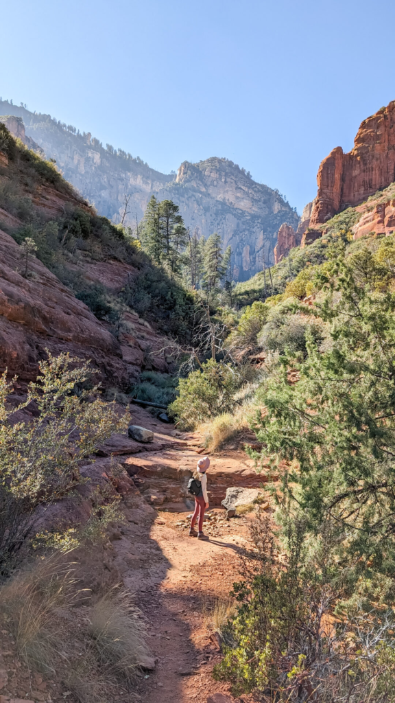
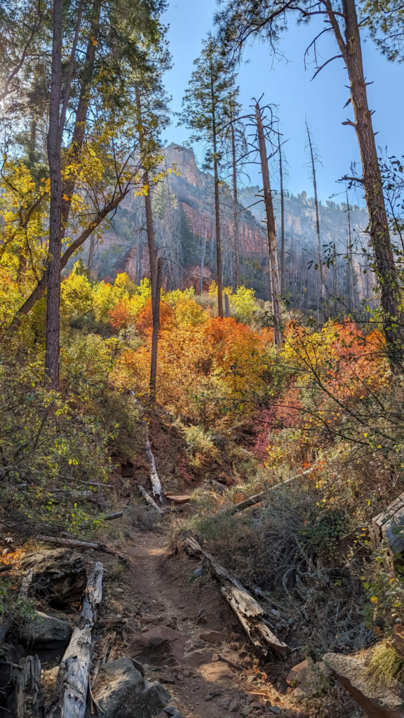
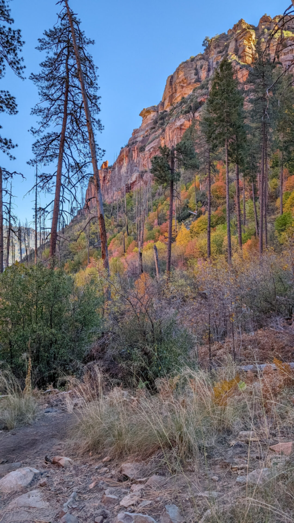
The trail immediately has some quick elevation gain to get up off the road. You can expect a lot of ups and downs heading in both directions on this trail; it is definitely a good workout! There are also some slippery sections due to dirt and small rocks. The views along the entire hike are incredible, and if you visit during the fall, you can expect to see gorgeous fall colors.
This general area along 89A is considered a busy area for hiking; however, due to the limited space to park for this trail, you likely will see few other people along the trail. We only saw one other person during peak fall foliage.
Looking for more hiking in Arizona?
Check out my ever-growing list of Arizona hikes